SpikeCamp is live: the operating system for wildland fire
October 19, 2026 · SpikeCamp
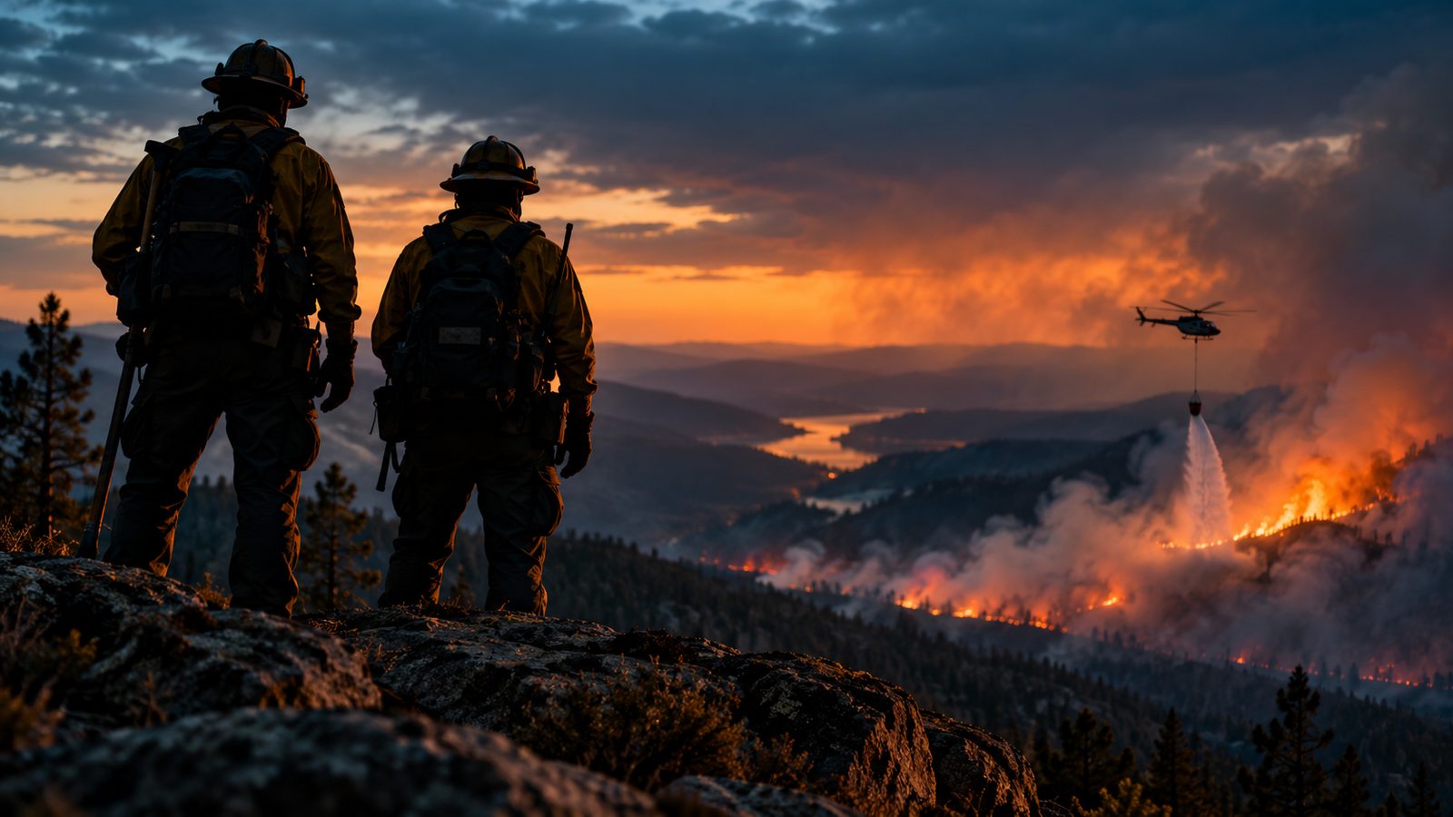
SpikeCamp is now live in early access, for individuals and for crews. It is one app for the whole fire: a free live map for anyone near a wildfire, a quiet way to tell family you're safe, and crew tracking that keeps working when the signal dies.
If you want to see it before you read about it, the 85 second demo shows the whole thing.
Every fire on one map, free
Open spikecamp.app and you get every reported wildfire in the United States on one map, sized by acres and colored by containment. No account, no paywall. Safety information stays free, always.
Behind that map are nearly twenty live public feeds, pulled together so you don't have to check ten websites during a fire:
- Incidents and perimeters from NIFC, plus new starts from WildCAD dispatch centers
- Satellite hotspots from NASA FIRMS
- Smoke from NOAA and air quality from EPA AirNow
- Red Flag warnings from the National Weather Service and fire flight restrictions from the FAA
- County evacuation zones and open FEMA shelters
- Fire aircraft overhead: tankers, helicopters and air attack
Every fire gets its own page with acres, containment, personnel and when the record last changed, so you can share one link with anyone. You can also watch a place, like your home, a cabin or a whole county, and get a push alert when a fire or a new start comes near. One watched place is free.
SpikeCamp is supplemental. It never replaces an evacuation order. When officials tell you to go, go.
3D incident maps that work with no signal
Zoom into a fire and you get a lightweight 3D incident map: perimeter, roads, drop points, water and terrain. It's packed small enough to save to your phone before you lose service, and it keeps working when you do. Heavy PDF maps are fine at a desk. On a phone, on a ridge, with one bar or none, they fail. These don't.
Family Link: they know you're safe
Firefighters and people near fires have the same problem: someone at home is worried and you can't always call. Family Link gives the people you choose a private link. They see your check-ins ("I'm OK", "Off shift, resting", "Heading home") and your general area: your town or county, never your exact location, never anything tactical. They don't need an app or an account to open it.
Family Link is part of Pro.
For crews on the line
This is why SpikeCamp exists. Every crew member's phone becomes a tracker, and every position reaches incident command over whatever link exists: cell service, a crew's Starlink hotspot, or a Meshtastic mesh radio when there's nothing else.
- Scan in at briefing. Every incident gets a join QR code. Each firefighter scans it, opts in with a callsign, and is live in seconds.
- No signal? Nothing lost. Positions wait on the phone and arrive in order the moment a link returns. A coverage gap becomes a delayed trail, not a missing one.
- One live board. Command sees every crew and resource on one map, organized by division, crew and attached resources, with anyone who drops off or stops moving flagged within minutes.
- One tap roll call. Every phone answers "I'm OK" or "Need help", with its position.
- Hazard zones. Walk into a marked hazard and your phone warns you and points the way to the nearest safety zone.
- An emergency button. Hold it for two seconds and command and your crew get your last position, even if it has to wait for signal.
- The paperwork, done. Each shift closes with an after action report and ICS 214 and 211 style exports.
Positions also flow into the tools agencies already run: TAK and WFTAK, ArcGIS and Google Earth, through revocable feeds. The crew tracking page is honest about what is live today and what is still in development.
Pricing
- Free: the live map, fire pages, evacuation zones, shelters, aircraft and one watched place.
- Pro, $5 a month or $48 a year: all your places, wind and weather layers, live tactical maps with your GPS, pins with photos, Family Link and Meshtastic relay.
- Crew, $50 a month: covers up to three rostered field people a day. Each additional field person is $1 a day, itemized by incident. Command seats are free.
Built on the line
SpikeCamp is built in Washington, by a US Army veteran and wildland fire crew member, for the failures seen on the line: no signal, dead phones, heavy files and the fog of a fast moving fire. You can read more on the about page.
Early access means we ship fast and listen hard. A native Android app with screen off tracking is next, with iPhone after it. If something doesn't work the way you need it to, use Report a problem in the app or email operations@spikecamp.app. We read everything.
Open SpikeCamp and look up a fire near you. It's free.
SpikeCamp is a supplemental wildfire awareness and crew coordination tool. It is not an official alert service and does not replace evacuation orders, dispatch, radio plans or the incident action plan. In an emergency, call 911. SpikeCamp posts are written with the help of artificial intelligence and reviewed by people, and may contain mistakes.