We entered SpikeCamp in the FireWERX Dismounted Resource Tracking Challenge
October 20, 2026 · SpikeCamp
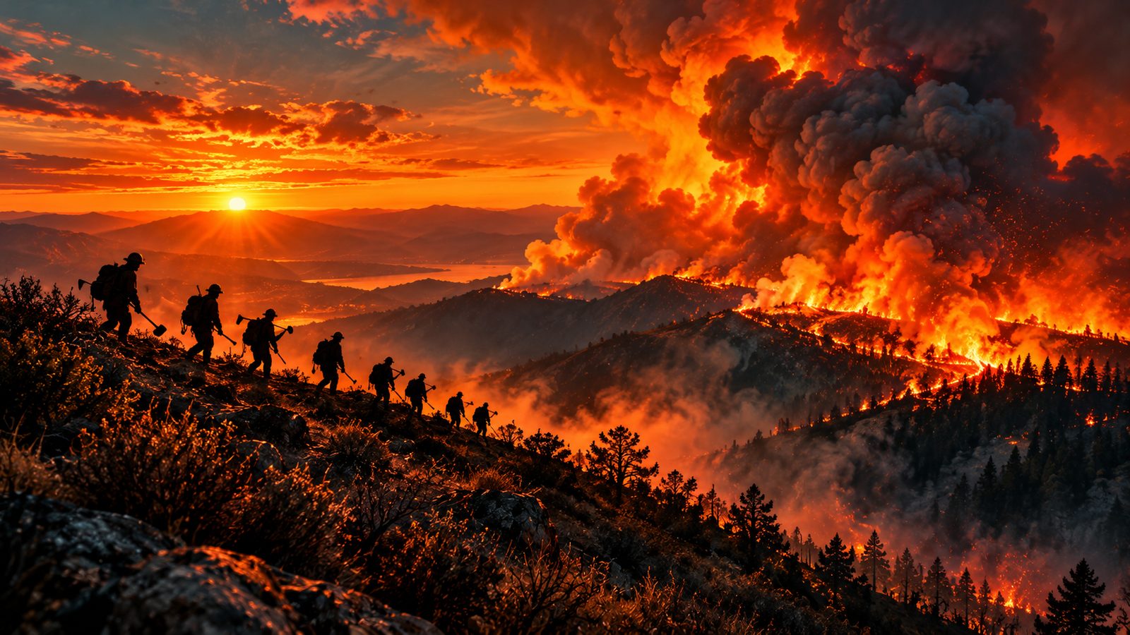
On October 18 we submitted SpikeCamp to the FireWERX Dismounted Resource Tracking Challenge, hosted with the Orange County Fire Authority as the Fire Innovation Unit partner.
The challenge asks a question every crew boss and division supervisor knows well: how do you keep continuous, reliable location data on firefighters working on foot, in remote terrain, where communications fail? That's the problem SpikeCamp was built to solve, so we put it forward.
What the challenge is
FireWERX is a nonprofit that connects fire agencies with technologists to speed up wildfire innovation. This challenge is the first phase of its Pilot-to-Scale pathway: agencies define the need, innovators propose solutions, and the strongest go to a live field test. Up to $300,000 in funding is available.
The timeline:
- September 30 to October 18: applications open
- October 30: finalists are notified
- December 14: Challenge Day, a live field test
What we proposed
Our application centers on one idea: the phone a firefighter already carries can be a dismounted tracker, as long as the system assumes the signal will fail.
- Scan in at briefing. Command puts the incident's join QR up at morning briefing. Each firefighter scans it, opts in, picks a callsign and resource type, and is live in seconds. Nothing is recorded before the join or after the stop.
- Every link that exists. Positions travel over cell service, a crew's Starlink Mini, or Meshtastic LoRa radios relaying through a gateway node.
- Nothing lost in a dead zone. Fixes queue on the phone and upload in order, without duplicates, the moment any link returns.
- Accountability on one board. Command sees every member on one map, with anyone who drops off or stops moving flagged within two minutes. One tap roll call, hazard zone alerts, an emergency button and work and rest flags run from the same board.
- Into the tools agencies already use. Revocable feeds serve TAK and WFTAK over Cursor-on-Target, and ArcGIS, Field Maps and EGP over GeoJSON and KML. No new common operating picture to learn.
- Minimal data, owned by the agency. Position, accuracy, time, battery and callsign. Stored in the United States, encrypted, and deleted on the agency's schedule.
Most of that is working today, and you can try it yourself. The crew tracking page lays out what is live and what is still in development, and the demo shows it end to end.
What we committed to
An application is a promise, so here is what we told FireWERX we would deliver before Challenge Day:
- Full shift field tests with Meshtastic radios added, by mid-November
- A native Android app with screen off tracking, with iPhone following
- A live tactical mesh network on Challenge Day
- TAK and WFTAK integration testing
We'll report progress on each of these here as it happens, including what breaks.
Why this matters beyond the challenge
Win or lose, the work is the same. Every item on that list makes SpikeCamp better for the crews and agencies already using it, and for the ones who haven't found it yet. The Android app in particular is the biggest step: it lets tracking keep running with the screen off, all shift, which a web app can't promise.
Get involved
If you run a crew, a module or an agency and want to pilot SpikeCamp on a real assignment, email operations@spikecamp.app. Command seats are free, and setup takes about as long as a morning briefing.
Everyone else: open the live fire map. It's free, and it always will be.
SpikeCamp is a supplemental wildfire awareness and crew coordination tool. It is not an official alert service and does not replace evacuation orders, dispatch, radio plans or the incident action plan. In an emergency, call 911. SpikeCamp posts are written with the help of artificial intelligence and reviewed by people, and may contain mistakes.